SINAR (Sistem Informasi Rupa Bumi)
A geospatial information system for recording and managing topographic features (rupa bumi). It catalogs and documents existing landforms and geographic elements with structured data, mapping, and search capabilities.
Visit sinardev.com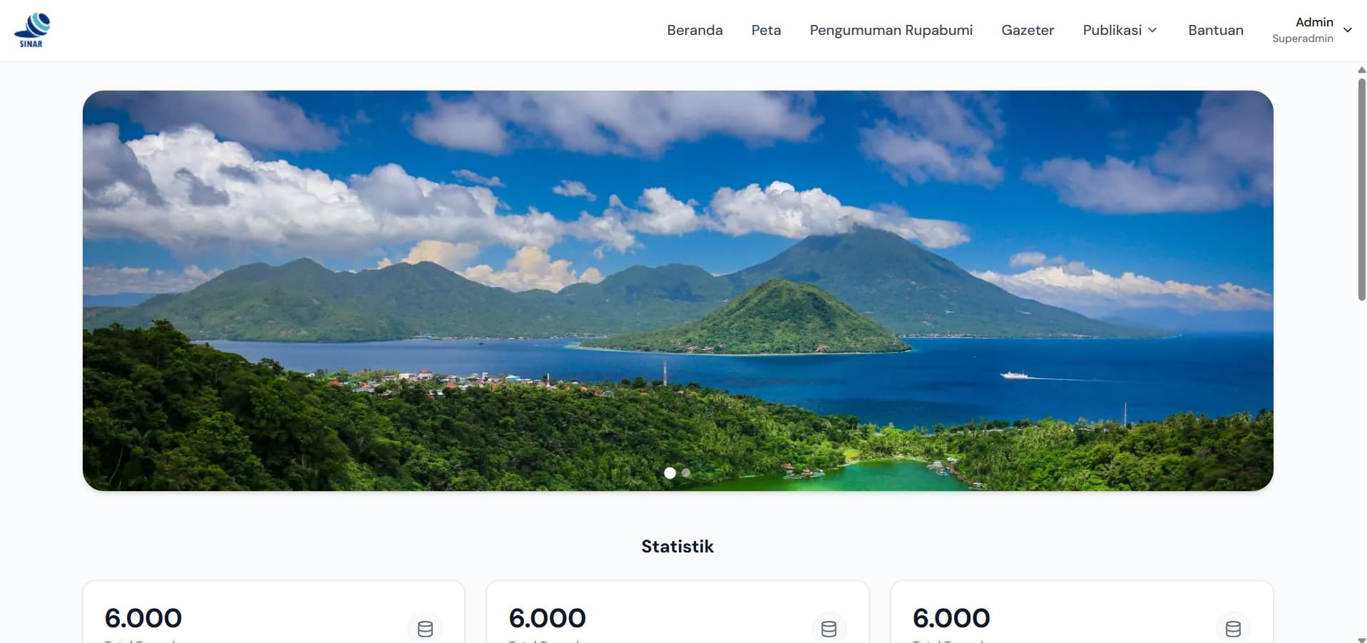
Built with
 Laravel
 JavaScript
 PostgreSQL
 Tailwind CSS
- Status
- Live
- Technologies
- 4
- Live at
- sinardev.com
More projects
View all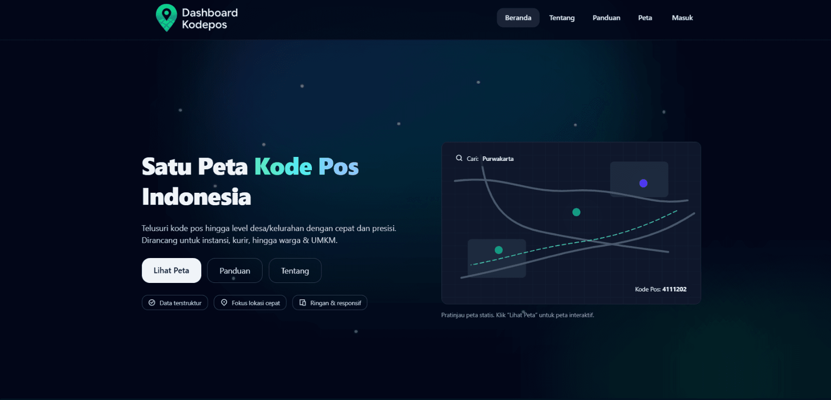
Dashboard Kode Pengiriman
Interactive map application for viewing postal codes across Indonesia with an integrated delivery code generator. Features include nationwide postal code search, interactive maps, automated delivery code generation, and comprehensive location-based postal data.
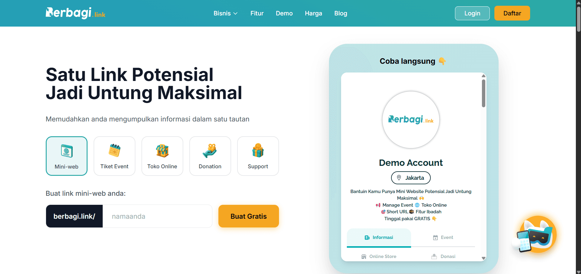
Berbagi Link
Event management platform that allows users to create, share, and manage event links efficiently. Features include event creation, link generation, attendee management, and real-time event tracking.
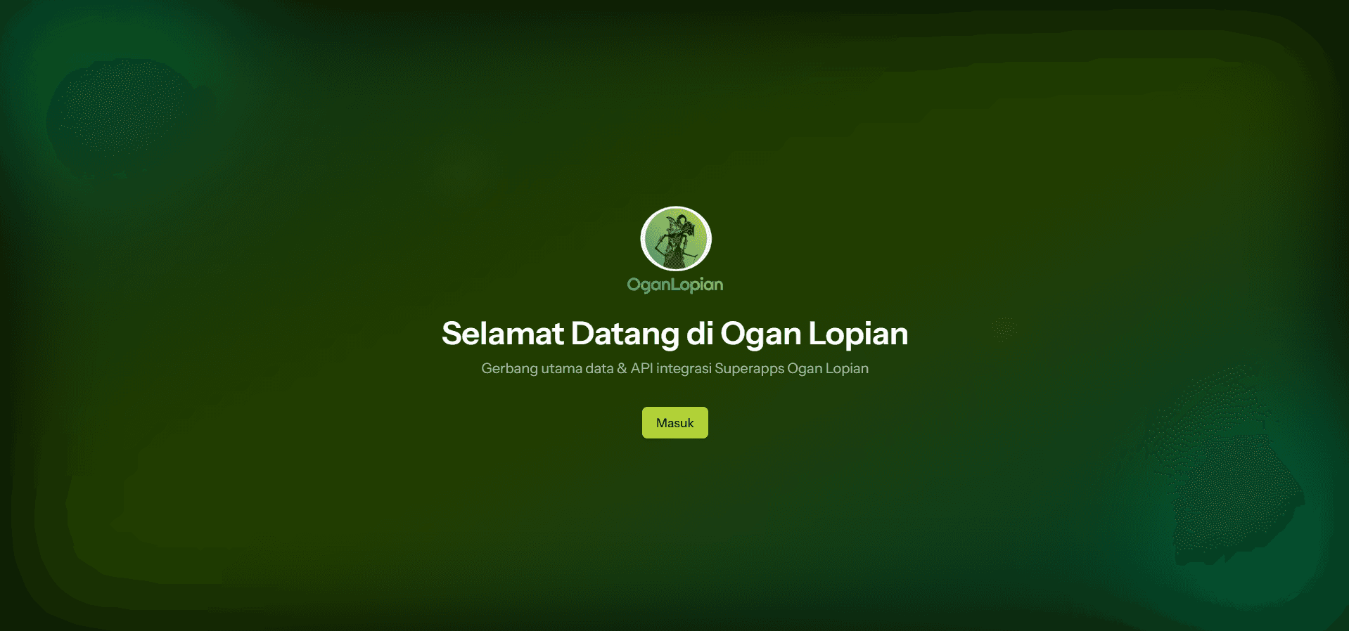
Oganlopian Website
Purwakarta’s central API hub—versioned REST endpoints (tourism, jobs, public info, transport, Prodeskel) with RBAC, dev-only docs, email verification, and an admin dashboard.